Cincinnati sits on a complex sequence of glacial till, alluvial deposits, and interbedded shale and limestone from the Ordovician period. The Ohio River Valley amplifies seismic waves from the New Madrid Seismic Zone, so site-specific VS30 values are required by the IBC for any structure in Seismic Design Category C or higher. We perform MASW surveys using a 48-channel landstreamer with 1-meter geophone spacing to generate reliable shear wave velocity profiles. Before running the survey, we cross-reference existing USGS borehole data for the Cincinnati region to calibrate our inversion models. This non-invasive method complements microzonificación sísmica studies by providing continuous velocity data across the site rather than point measurements from individual borings.
A single SPT boring can miss a bedrock high by 40 feet. MASW captures the lateral variability that point tests cannot.
Technical details of the service in Cincinnati
Critical ground factors in Cincinnati
In Cincinnati, we often see that the alluvial terraces along the Mill Creek Valley have VS30 values between 180 and 360 m/s, placing them in Site Classes D and C. If a designer assumes Site Class B based on a single rock outcrop observation, the spectral acceleration can be underestimated by a factor of two. That means the lateral force on a six-story building could be half what it should be. We have documented cases where MASW revealed a buried channel filled with soft clay that no boring had hit. That kind of hidden feature directly affects foundation costs and seismic detailing requirements. Running MASW early avoids redesign after the structural engineer has already locked in the base shear.
This service complements our laboratory testing work for a complete project analysis.
Our services
We offer two levels of MASW and VS30 characterization for Cincinnati projects, from preliminary screening to code-compliance reports.
Standard MASW Survey for VS30
One 47-meter linear array with 48 geophones, sledgehammer source, and full inversion report. Output includes dispersion curve, 1D velocity profile, and VS30 value for ASCE 7 site class determination. Suitable for single-building lots up to 5 acres.
Multi-Array MASW for Large Sites
Two or more overlapping arrays to cover irregular parcels or multiple building pads. Provides a 2D velocity cross-section and site-specific response spectra. Recommended for subdivisions, schools, and hospitals in Seismic Design Category D and above.
Quick answers
What is the difference between VS30 from MASW and VS30 from a downhole seismic test?
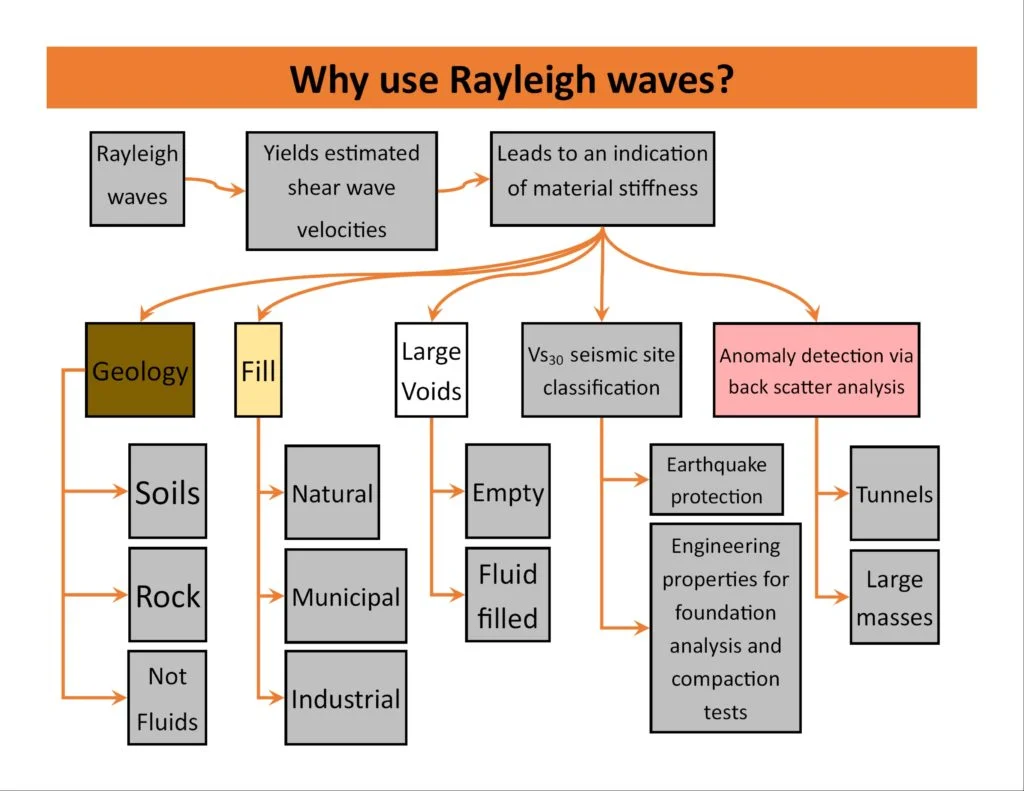
MASW measures Rayleigh wave propagation along the surface and inverts for shear wave velocity. Downhole tests require a borehole and measure P- and S-wave travel times directly. MASW gives a continuous profile over a 47-meter spread, while downhole gives point measurements at the borehole location. For Cincinnati sites with variable glacial till thickness, MASW captures lateral changes that a single downhole test would miss.
How much does MASW / VS30 testing cost in Cincinnati?
The typical cost for a standard MASW survey with a 48-channel array and full inversion report ranges from US$1,790 to US$2,870. The final price depends on site access, number of arrays, and whether you need a site-specific response spectrum in addition to the VS30 value. We provide a fixed quote after a brief site review.
What site classes are most common in Cincinnati based on VS30 measurements?
Based on our data from over 60 surveys across Hamilton County, about 40 percent of sites fall into Site Class C (VS30 360–760 m/s), 45 percent into Site Class D (VS30 180–360 m/s), and the rest into Site Class B or C/D boundary. The Ohio River floodplain and Mill Creek Valley consistently show Site Class D. Upland areas like Clifton and Hyde Park often reach Site Class C once the glacial till compacts to sufficient density.
Can MASW detect shallow bedrock or soil lenses that affect foundation design?
Yes. MASW resolves velocity contrasts as shallow as 2 to 3 meters. In Cincinnati, we routinely identify limestone bedrock at depths between 5 and 20 meters. The inversion also picks up low-velocity layers like soft clay or loose sand that may require Improvement. We recommend combining MASW with a shallow georadar survey to confirm reflector depths for bedrock and buried channels.